
Wednesday Slight Chance Showers And T-Storms |
Thursday Sunny |
Friday Sunny |
Saturday Sunny |
Sunday Sunny |
Monday Sunny |
Tuesday Sunny |
|
| High: 79 °F | High: 80 °F | High: 78 °F | High: 73 °F | High: 70 °F | High: 72 °F | High: 74 °F | |
Tonight Chance Showers And T-Storms |
Wednesday Night  Mostly Clear |
Thursday Night  Clear |
Friday Night Clear |
Saturday Night Clear |
Sunday Night Clear |
Monday Night Clear |
|
| Low: 50 °F | Low: 48 °F | Low: 43 °F | Low: 43 °F | Low: 38 °F | Low: 38 °F | Low: 39 °F | |
Ben's WX Summary
- Updated: Tuesday @ 07:47pm
High pressure extending from Western Texas through Northern Mexico will bring warmer temperatures over the next couple of days and increased humidity. The flow around this ridge will draw enough tropical moisture north for a chance of showers and thunderstorms through Wednesday, drying out on Thursday. A trough will return to the West Coast this weekend for gusty west winds and cooler temperatures. Expect partly to mostly cloudy skies this evening with isolated showers and thunderstorms possible, lows in the upper 40s and 50s. Moisture will continue to stream northward through Wednesday with a chance of showers and thunderstorms continuing. Storms may be capable of producing gusty winds, frequent lightning, and brief heavy downpours. Due to drier air at the surface, dry lightning and snags are a possibility, much as we experienced near Onyx Summit today, keep a watchful eye to the sky! Daytime highs will remain in the lower 80s on Wednesday and Thursday, as overnight lows cool to the 40s and 50s. A drier southwest flow will develop on Thursday, pushing moisture east of us with a cooling trend as temperatures return to normal by the weekend. A stronger onshore flow will also generate gusty west winds 10-20 mph at times, mainly during the afternoons. Longer range looks dry at this time through next week with a gradual warm-up as we approach the Independence holiday. Forecast models are still mixed headed into July, but leaning towards above-average rainfall, which is a good sign we could see a return of the monsoon flow.
| Current Conditions | Wind | Rain | Outlook | ||||||||||||||||||||||||||||||||||||
|
|
|
|
||||||||||||||||||||||||||||||||||||
| Humidity & Barometer | Snowfall | Moon | |||||||||||||||||||||||||||||||||||||
|
|
|
|||||||||||||||||||||||||||||||||||||
| UV Index | Solar Radiation | ||||||||||||||||||||||||||||||||||||||
|
|
||||||||||||||||||||||||||||||||||||||


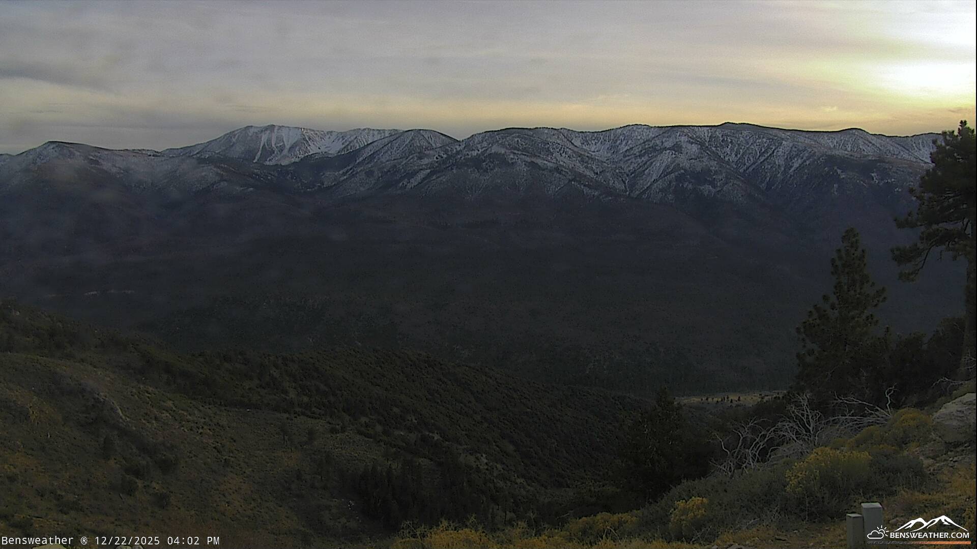
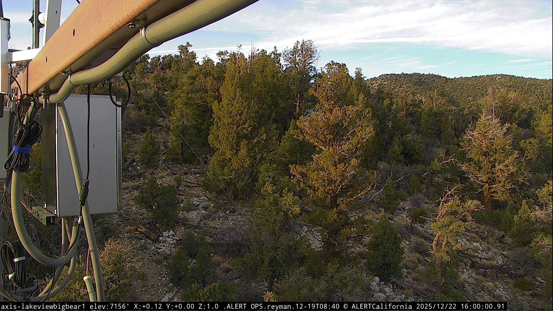
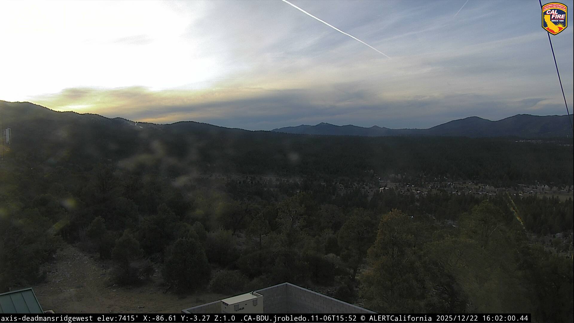
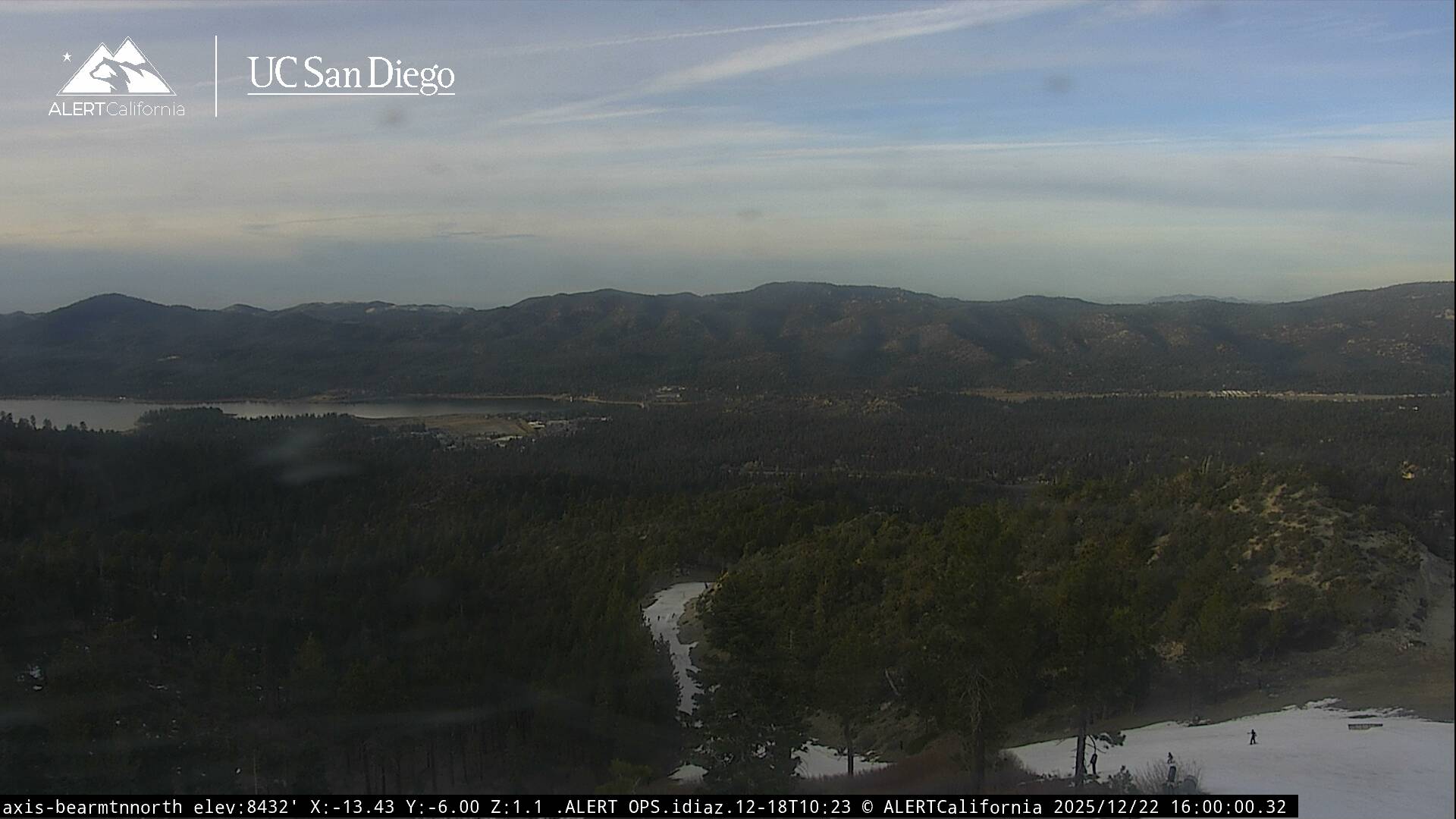
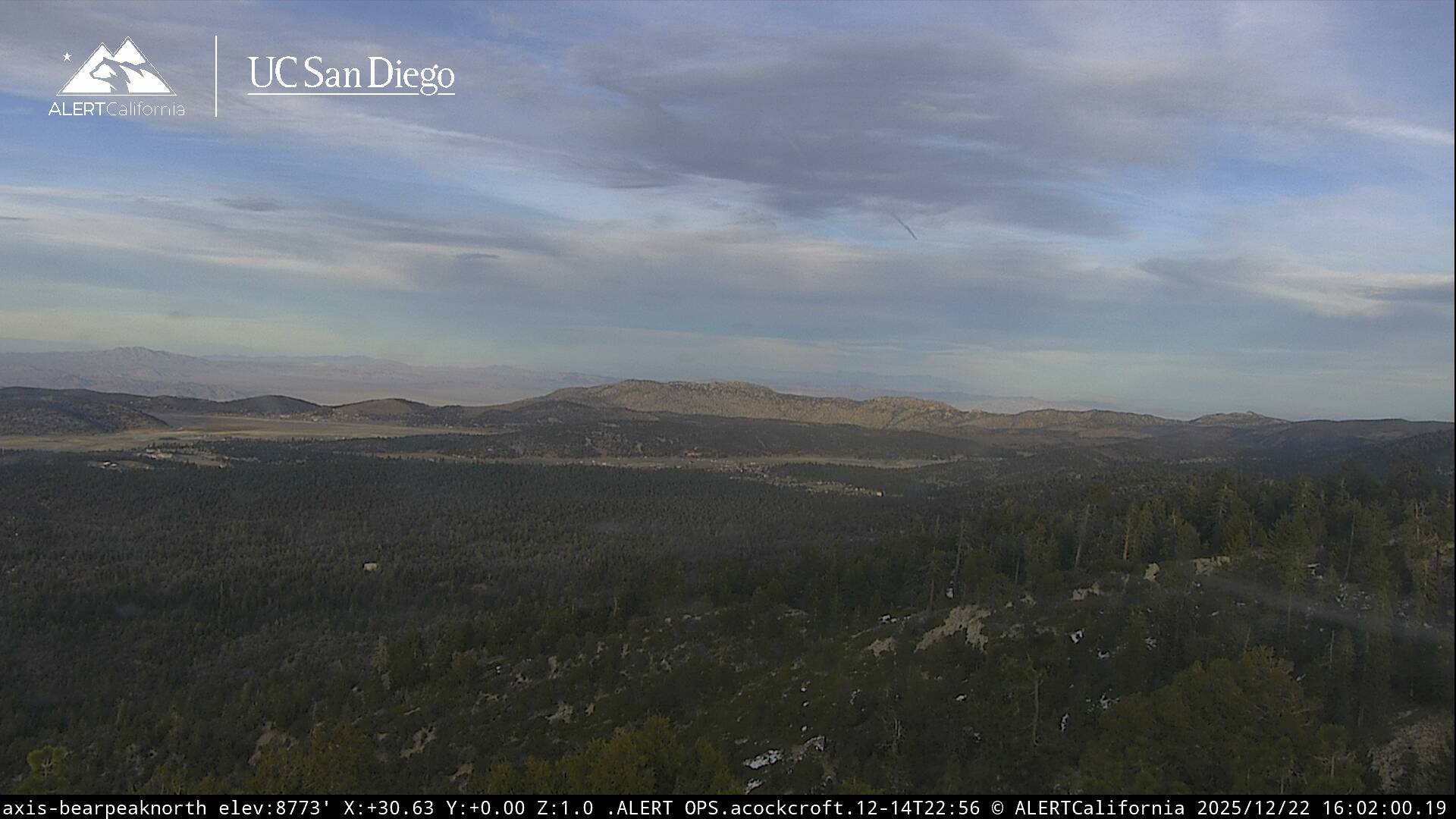
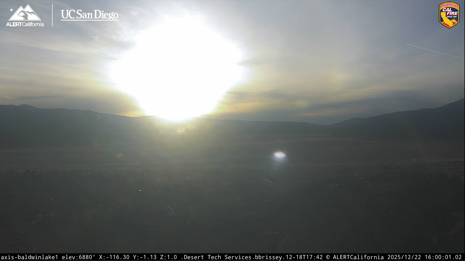
Live Cams